 Albuquerque's Environmental Story
Albuquerque's Environmental Story
Albuquerque's Environmental Story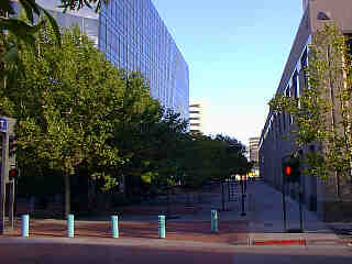 .
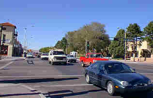
. .that about a thousand years ago, the Rio Grande flowed between Second and
Twelfth Streets?
.
. .that about a thousand years ago, the Rio Grande flowed between Second and
Twelfth Streets?
 .
. .that Central Avenue and Yale Boulevard mark the edge of the east mesa and
the begining of the descent into the inner valley?
.
. .that Central Avenue and Yale Boulevard mark the edge of the east mesa and
the begining of the descent into the inner valley?
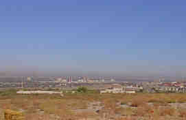 .
. .that several hundred thousand years ago, the east and west mesas formed a
broad plain through which the Rio Grande flowed (about 250 feet or 24 meters
higher than its present level). The surface of this old plain is preserved along
the mesa where Coors Road runs to the east around Kirtland Air Force Base and
Albuquerque International Airport?
.
. .that several hundred thousand years ago, the east and west mesas formed a
broad plain through which the Rio Grande flowed (about 250 feet or 24 meters
higher than its present level). The surface of this old plain is preserved along
the mesa where Coors Road runs to the east around Kirtland Air Force Base and
Albuquerque International Airport?
(Up to Section I, Back to Geology and Geological History, On to Hidden Geology)