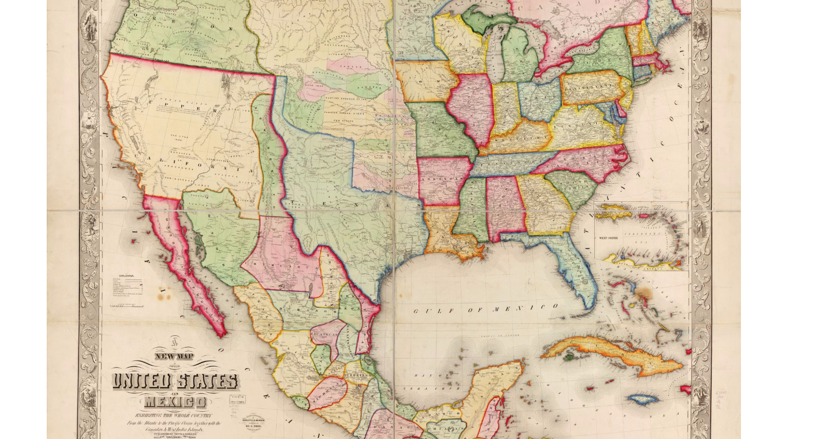
This is a map of the US with the NM territory acquired during Mexican-American War. Map was published in 1847. (Actually titled “New map of the United States and Mexico”.)
| Document Type: | Map |
| Historical Event: | Statehood (1912) |
| Sub Event: | Borders and Counties |
| Origin: | Library of Congress, Geography and Map Division |
| Date: | |
| Author: | Doolittle & Munson |
| Permission: | Public Domain |
| Contributor: | Tammie Torres |
Digital Text:
Related Documents
- Map of Railroads
- Map of NM with Coach Lines, Rivers and Lakes
- Santa Fe Route 1888
- Bernalillio County Courthouse 1908
- Map of NM Showing County Seats and Boundaries 1908
- ARTICLE I, Name and Boundaries; and ARTICLE X, County and Municipal Corporations
An educational resource for New Mexico high school history programs.
