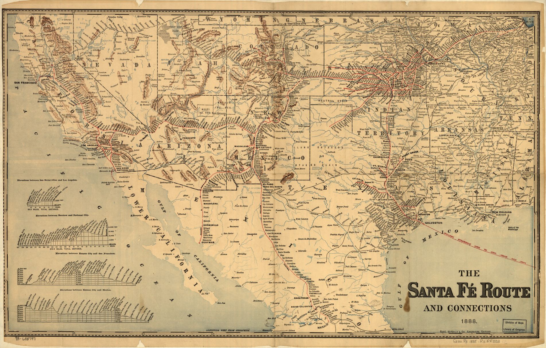
1888 Map of the southwestern United States and northern Mexico showing relief by hachures, drainage, cities and towns, stations, Indian reservations, state boundaries, and the railroad network emphasizing the main line. The map includes railroad names and profiles in lower left of map.
This is part of the Railroad Maps, 1828-1900 Collection at the Library of Congress.
| Document Type: | Map |
| Historical Event: | Statehood (1912) |
| Sub Event: | Borders and Counties |
| Origin: | Railroad Maps Collection, Library of Congress |
| Date: | |
| Author: | Rand McNally and Company |
| Permission: | Public Domain |
| Contributor: | Tammie Torres |
Digital Text:
Related Documents
- Map of US with NM - 1847
- Map of Railroads
- Map of NM with Coach Lines, Rivers and Lakes
- Bernalillio County Courthouse 1908
- Map of NM Showing County Seats and Boundaries 1908
- ARTICLE I, Name and Boundaries; and ARTICLE X, County and Municipal Corporations
An educational resource for New Mexico high school history programs.
